Welcome to
Monklands Ramblers
exploring scotland
since 1985
before booking
before booking
➝ Numbers on the coach are no longer limited, but it is still essential to book in advance, and not turn up on the day without a confirmed booking.
➝ The newsletter for our weekend walks is issued the Wednesday following a club walk at 6.30pm. Please try and book as soon as the newsletter is issued as the bus fills up quickly.
➝ The booking contact will be indicated on the newsletter and may differ from the walk leader. A text will be sent back to confirm a booking.
➝ If you are unable to attend a walk, please let the booking contact know immediately. There are no charges for cancellations.
Future Walk Dates
future walks
Saturday, 8 August:
➝ Dalwhinnie (originally 9 August)
Sunday, 23 August:
➝ Ayrshire Coast (originally 22 August)
Sunday, 6 September:
➝ Peebles
Saturday, 19 September:
➝ Galloway (final walk of our summer programme)
Scottish mountain webcams
scottish mountains

The Ben Nevis Webcam is located on the banks of Loch Linnhe, Fort William. The web cam updates every minute and captures fantastic views of Ben Nevis, Fort William, Loch Linnhe and Aonach Mor.
Buachaille Etive Mor in Glencoe, Argyll, is one of the most beautiful mountains in Scotland. The picture of it above was taken a short time ago by a camera at the Glencoe Mountain Ski Centre.
Weekend walks
8th August
(D)
(H)
(M)
(S)
Please note the date change from the printed and online programme, the walk is now SATURDAY 8 AUGUST.
Both walks for the 8th August have been changed from the original programme due to access problems.
➝ Morning Stop and evening stop: The morning break will be at Highland Gateway retail park (.pdf), Inveralmond round about Perth and the post walk stop in Pitlochry.
✔ 1st Leader: Alan Robertson
✔ Location: Sgairneach Mhor & Beinn Udlamain
✔ Grade: A+
✔ Distance: 9.7 Miles / 15.5 km (asc. 783m)
✔ 2nd Leader: Ken Paton
✔ Location: Loch Garry from Dalnaspidal
✔ Grade: B
✔ Distance: 9 Miles / 14.0 km (asc. 315m)
✔ Fares: Bus fare on this walk is £15. New walkers £10. Juniors under 18 = £10, under 16 = £5.
✔ Walk Report:
➝ Sgairneach Mhor & Beinn Udlamain :
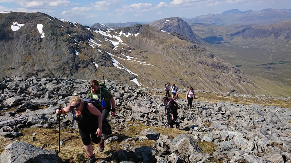
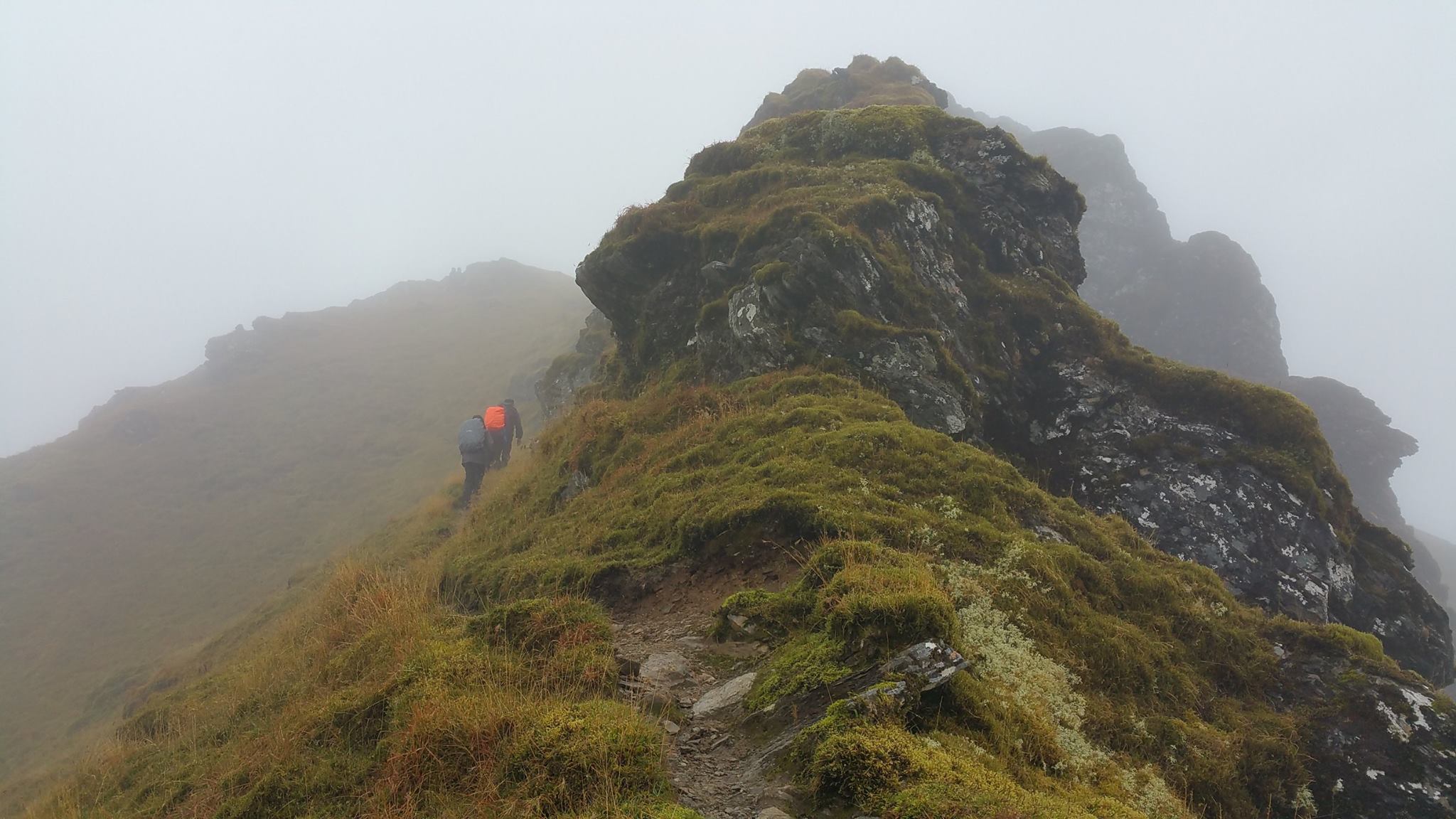
The southern pair of the four Munros on the west side of the Drumochter Pass are heathery hills rather than true mountains; the views, however, are good on a clear day. The two Munros in the walk are Sgàirneach Mhòr and Beinn Udlamain. Mostly straightforward hillwalking, with wetter terrain lower down and good walking on mossy turf along the ridges. The descent from Beinn Udlamain is steep and rough in places. Boots recommended and poles if you normally use them.
➝ Loch Garry from Dalnaspidal:
This walk starts at the slip road for Dalnaspidal and follows a narrow road to a designated railway crossing. Once across the rail line a good track is followed to the start of Loch Garry where the route then follows an undulating track along the length of the Loch.
When we reach a gate at the end of the track we retrace our steps back to the railway crossing. The walk then follows the cycle track heading north until we get to a layby on the A9 where the bus should be waiting.
✔ Booking: Please contact Stuart Sefton by SMS text message on 07760 171693 to book on the walk.
Please send a text including your full name and pick-up point. You can only book as an individual or for family or couple bookings. All bookings will be acknowledged with a confirmation text. This may not be immediate so please be patient.
✔ Pick-up: First pick-up will be at Coatbridge @ 8.30am (at the back of the Time Capsule) followed by Coatdyke (opposite and adjacent to the Kwik Fit) and then Airdrie (Farmfoods across from Airdrie Railway Station).
Wednesday Walk
22th July
To book a place on a walk:
WHATSAPP or TEXT Tony Grimason, on 07516238706, No phone calls
➜ ONLY CONTACT Tony within 2 weeks (8th July) of the date of a scheduled walk.
➜ Maximum number on each walk: 16.
➜ Booking is on a first come, first served basis.
➜ A reserve list will be created in the event of cancellations.
➜ No charge is applied for those participating on these walks.
➜ Financial costs associated with transport are at participants own cost.
➜ All walks are between 5 and 8 miles, and will be undertaken at a leisurely pace.
➜ Appropriate weatherproof clothing and walking shoes/boots & poles recommended.
✔ Location: Drumpellier Country Park Woodland Circuit
✔ Time & Travel: We catch the #245 ‘Moodiesburn’ bus from Asda Coatbridge westbound bus top at 10.15 a.m. arriving at Drumpellier Country Park at 10.23 a.m. We will start the walk at 10.45 a.m.
To return to Coatbridge Asda we catch either the #245 ‘Coatbridge’ bus from the stop opposite the car park at Bizzi Izzi’s (hourly: 4 min past the hour) or the #7 ‘Coatbridge’ bus from Tay Street – a 5 min walk at 13 min, 33 min & 53 min past the hour.
✔ Finish time: TBA
✔ Recce: This is a 5-mile circular walk starting from the picnic tables adjacent to the entrance to Drumpellier Country Park visitor centre (Drumpellier Country Park | North Lanarkshire Council).
The park covers an area of 500 acres and includes two natural lochs with various wildlife on display. We walk briefly along the western side to Lochend Loch to enter Home Farm Woods.
Thereafter, we walk along several interlinking woodland, moorland and grassland paths – returning via the Monklands Canal on the southern perimeter. Passing underneath Blairhill railway underpass, we start our return journey by wandering through Garnheath Woods to finally emerge at the Peace Garden by the side of Lochend Loch.
After a brief stop there for a period of reflection & a wee blether, we make our way along the tarmac footpath around the loch to the Visitor Centre passing the Crannog & Whale Tail.
✔ Footwear: Walking shoes and poles recommended.
✔ Pre-comfort Stop: Drumpellier Country Park visitor centre (opposite car park).
✔ Post-walk Social Stop: Bizzi Izzi’s, Lochhead Golf Club, Townhead (Bizzi Izzi’s (at The View), Coatbridge – 2026 Reviews & Information). For those travelling by car there is a car park at the Golf Club.
quiz night
09 October
(D)
(H)
(M)
(S)
Our annual fundraising quiz night is back!
➝ Raffle Prize Donations welcome
➝ All proceeds to club funds
➝ Cash bar only
✔ Date & Time: Friday, 9 October @ 7.00pm for a 7.30pm start
✔ Address: St Margaret’s Hall, 96 Hallcraig St, Airdrie ML6 6AW
✔ Price: £10 (Buffet included. Bar available (Max 4 players per team))
✔ Contact: Anyone wishing to attend this event, can they please email Jackie (our social secretary) with name and numbers at jacquelinewilson117@gmail.com
Benvironment
Daily Record
The Guardian
The Telegraph


sign up to our newsletter, as we usually send updates on a wednesday evening.
(Remember to check your spam or junk folder too.)
Quick Links
home
about
Starter for £10
Clothing guide
sponsors
find a walk
pick-up
Committee
contact
RA Membership
Monklands Ramblers is an official Ramblers Association Group. We receive annual funding from the RA to finance club administration such as the website, walk leader recce expenses, the Fiver promotion etc.
RA members receive a welcome pack plus excellent quarterly magazine and an entitlement to walk with any Ramblers group in Britain. There is also access to an extensive online library of walks and discounts available to members eg Cotswold Outdoor Company, O.S maps, Ramblers Holidays etc.
You can join the RA here.
Please indicate your local group is: Monklands.
Information


The Ramblers' Association is a company limited by guarantee, registered in England and Wales. Company registration no. 4458492. Registered charity, Scotland no. SC039799.
Monklands Ramblers © 1985-2026
